| dc.creator | House of Representatives Executive Document No. 104, 35th Congress, 1st Session (1858) | |
| dc.date.accessioned | 2016-06-03T20:44:05Z | |
| dc.date.available | 2016-06-03T20:44:05Z | |
| dc.date.issued | 1858-04-16 | |
| dc.identifier | 958 H.exdoc.104 | |
| dc.identifier | H.R. Exec. Doc. No.104, 35th Cong., 1st Sess. (1858) | |
| dc.identifier.uri | https://hdl.handle.net/11244/37395 | |
| dc.subject | Cherokee Indians - Lands | |
| dc.subject | Creek Indians - Lands | |
| dc.subject | Osage Indians - Lands | |
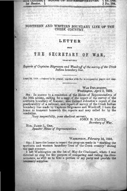
| dc.title | Letter from the Secretary of War, transmitting reports of Captains Sitgreaves and Woodruff of the survey of the Creek Indian boundary line | |
| dcterms.extent | 32 | |
| dcterms.alternative.title | Map: Boundary of the Creek Country Surveyed under the Direction of the Bureau of Top Eng. | |
| dc.description.congressSession | 35-1 | |
| dc.description.committee | Department of War | |
| dc.description.johnsonAnnotation | Report on the Northern and Western Boundaries of Creek Country. [958] Bordering the Osages, Cherokees, and other tribes. | |
| dc.description.johnsonReference | 1858-85 | |
