Search
Now showing items 27481-27490 of 46478
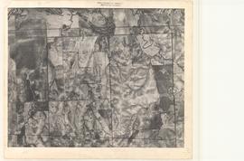
Aerial Photo of Custer County, OK, USA, AE-8-40
(United States Government, nan)
Oklahoma aerial photographs in this collection are public domain and were created by U.S. government agencies or contractors to those agencies. The photos are marked with a flight and frame number at the top of the photos, ...
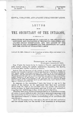
The Marshall Mission :
(The University of Oklahoma., 1963)
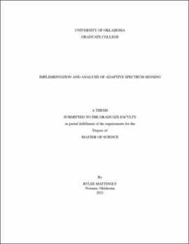
Implementation and Analysis of Adaptive Spectrum Sensing
(2021-08-05)
The electromagnetic spectrum is a finite resource that has become increasingly crowded as the day-to-day operation of the world has become increasingly reliant on wireless devices. With the growing deployment of the ...

Residential Segregation: A Story of Health Inadequacies Undergraduate
(12/4/18)
The intentional segregation of metropolitan areas in the United States during the twentieth century has resulted in rising health disparities in low-income minorities today. Contemporary medical practices like collecting ...

Aerial Photo of Okfuskee County, OK, USA, OM-2N-40
(United States Government, 1954-07-11)
Oklahoma aerial photographs in this collection are public domain and were created by U.S. government agencies or contractors to those agencies. The photos are marked with a flight and frame number at the top of the photos, ...

Aerial Photo of Mayes County, OK, USA, CMO-16-24
(United States Government, 1940-10-12)
Oklahoma aerial photographs in this collection are public domain and were created by U.S. government agencies or contractors to those agencies. The photos are marked with a flight and frame number at the top of the photos, ...