| dc.contributor | Jack Ammann Photogrammetric Engineers | |
| dc.contributor.other | University Libraries Digitization Lab, University of Oklahoma | |
| dc.creator | United States Department of Agriculture, Production and Marketing Administration | |
| dc.date.accessioned | 2022-12-02T20:14:53Z | |
| dc.date.available | 2022-12-02T20:14:53Z | |
| dc.date.issued | 1948 | |
| dc.identifier.uri | https://hdl.handle.net/11244/336635 | |
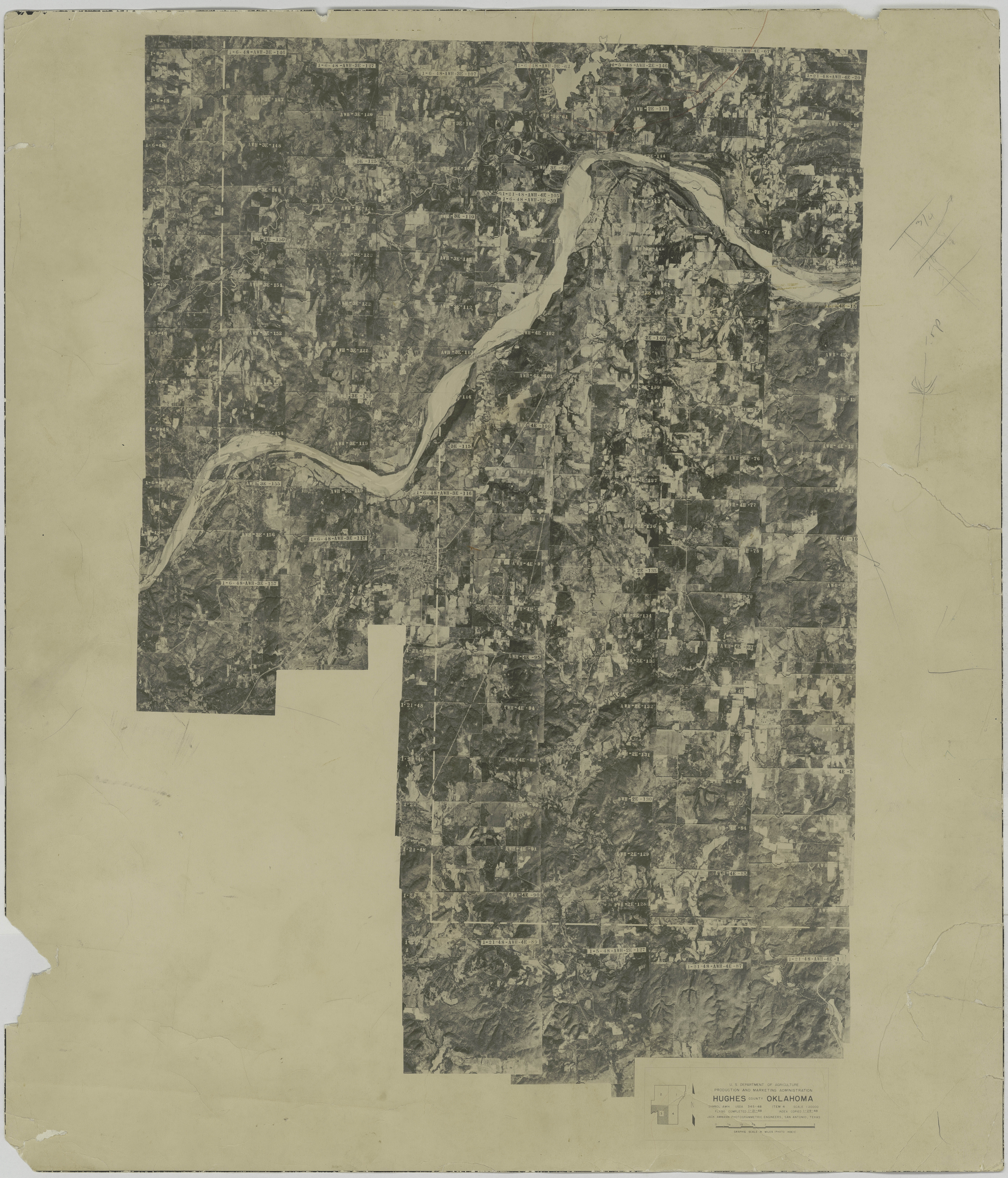
| dc.description | Aerial photograph index (photomosaic), Hughes County, Oklahoma. MAP 3 of 4 | |
| dc.format | image/jpeg | |
| dc.format.extent | 24 in x 20 in | |
| dc.language | en_US | |
| dc.relation.uri | http://guides.ou.edu/aerial | |
| dc.rights.uri | https://rightsstatements.org/vocab/NKC/1.0/ | |
| dc.title | Aerial photo index, Hughes County, OK, 1948. Section 3 of 4 | |
| dc.type | stillimage | |