| dc.contributor.other | University Libraries Digitization Lab, University of Oklahoma | |
| dc.creator | United States Department of Agriculture, Soil Conservation Service | |
| dc.date.accessioned | 2022-12-02T20:14:52Z | |
| dc.date.available | 2022-12-02T20:14:52Z | |
| dc.identifier.uri | https://hdl.handle.net/11244/336633 | |
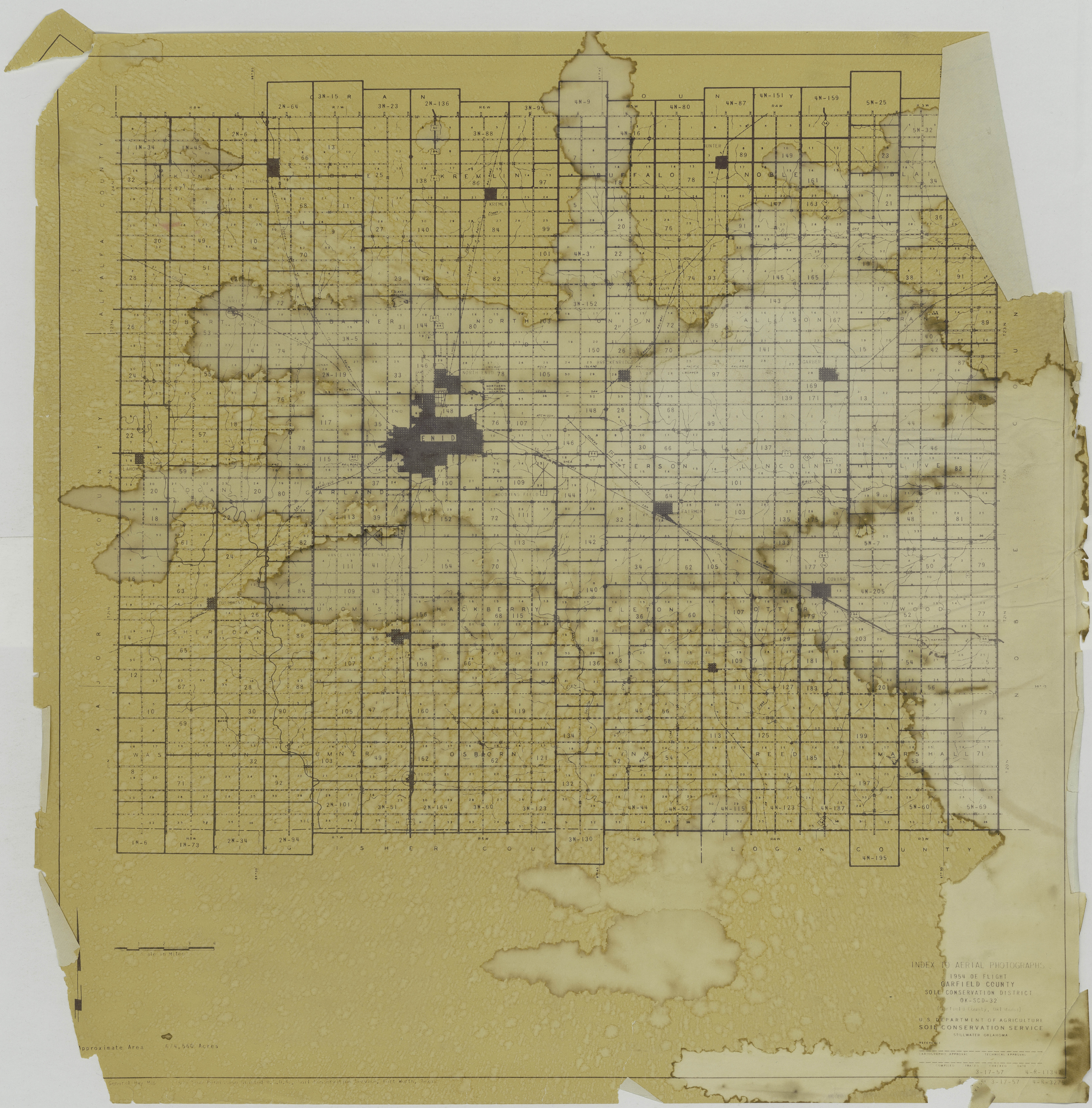
| dc.description | Aerial photograph index (map). 1954 OE Flight. Garfield County, Oklahoma. Soil Conservation District, OK-SCD-32. | |
| dc.format | image/jpeg | |
| dc.format.extent | 22 in x 21 in | |
| dc.language | en_US | |
| dc.relation.uri | http://guides.ou.edu/aerial | |
| dc.rights.uri | https://rightsstatements.org/vocab/NKC/1.0/ | |
| dc.title | Index to Aerial Photographs, 1954 OE Flight, Garfield County | |
| dc.type | stillimage | |