| dc.contributor.author | Connock, Gregory Thomas | |
| dc.coverage.spatial | Woodford Shale (Okla. and Texas) | |
| dc.coverage.spatial | Woodford Shale (Okla. and Texas) | |
| dc.date.accessioned | 2020-03-03T18:00:12Z | |
| dc.date.available | 2020-03-03T18:00:12Z | |
| dc.date.created | 2015 | |
| dc.identifier.uri | https://hdl.handle.net/11244/323798 | |
| dc.description | M.S--University of Oklahoma, 2015. | |
| dc.description | Includes bibliographical references (leaves 162-182). | |
| dc.format.extent | xiii, 253 leaves | |
| dc.format.medium | xiii, 253 leaves : illustrations (some color), maps (chiefly color) ; 28 cm | |
| dc.language.iso | eng | |
| dc.subject.lcsh | Geology--Woodford Shale (Okla. and Texas) | |
| dc.subject.lcsh | Petroleum--Geology--Woodford Shale (Okla. and Texas) | |
| dc.subject.lcsh | Sequence stratigraphy | |
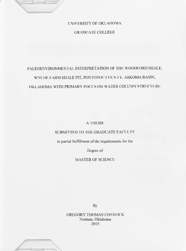
| dc.title | Paleoenvironmental interpretation of the Woodford Shale, Wyche Farm Shale Pit, Pontotoc County, Arkoma Basin, Oklahoma with primary focus on water column structure | |
| dc.type | Text | |
