| dc.contributor.advisor | Kent, Douglas C. | |
| dc.contributor.author | Azimi, Esmaeil | |
| dc.date.accessioned | 2015-09-23T18:29:20Z | |
| dc.date.available | 2015-09-23T18:29:20Z | |
| dc.date.issued | 1978-12-01 | |
| dc.identifier.uri | https://hdl.handle.net/11244/18525 | |
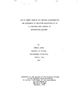
| dc.description.abstract | This study is concerned with using analogous and digitallyenhanced remotely sensed data for discrimination of fracturing (and of related pollution susceptibility and recharge) in an unconfined limestone-chert aquifer in the Ozark region of northeastern Oklahoma. Skylab-4 photography was used for regional structural mapping. LANDSAT photographs, Skylab, and digitally-enhanced data were used for the detailed study of the area. | |
| dc.format | application/pdf | |
| dc.language | en_US | |
| dc.publisher | Oklahoma State University | |
| dc.rights | Copyright is held by the author who has granted the Oklahoma State University Library the non-exclusive right to share this material in its institutional repository. Contact Digital Library Services at lib-dls@okstate.edu or 405-744-9161 for the permission policy on the use, reproduction or distribution of this material. | |
| dc.title | Use of Remote Sensing for Fracture Discrimination and Assessment of Pollution Susceptibility of a Limestone-chert Aquifer in Northeastern Oklahoma | |
| dc.type | text | |
| dc.contributor.committeeMember | Stewart, Gary F. | |
| dc.contributor.committeeMember | Stone, John E. | |
| osu.filename | Thesis-1978-A995u.pdf | |
| osu.accesstype | Open Access | |
| dc.description.department | Geology | |
| dc.type.genre | Thesis | |
