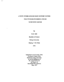
| dc.contributor.author | Zhu, Tao | |
| dc.date.accessioned | 2014-09-29T19:41:57Z | |
| dc.date.available | 2014-09-29T19:41:57Z | |
| dc.date.issued | 1997-05-01 | |
| dc.identifier.uri | https://hdl.handle.net/11244/12434 | |
| dc.description.abstract | OMLS (Chemical Movement in Layered Soils) Is a simulation tool used in managing agriculture chemicals. Many scientists and government agencies such as Oklahoma Department of Agriculture interface CMLS with a Geographical Information System (GIS) package to produce maps from the CMLS output. The maps generated can be used to evaluate the risk of ground water contamination for specific soil-pesticide water management systems [19] Fengxia Ma [19] created a shell program, go & draw, to provide a user interface on UNIX system, and run Ov1LS to generate resu lts, which can be used to generate maps from GRASS (Geographic Resource Analysis Support System) GIS package. But running CMLS is very time consuming (e.g. doing the simulation for the entire Oklahoma state on the mainframe in Oklahoma State University takes more than 100 CPU hours), and space consuming (e. g. it needs approximately 100MB disk space for each county, some counties even need 200MB) It is not feasible to run CMLS as an on-line information system. | |
| dc.format | application/pdf | |
| dc.language | en_US | |
| dc.publisher | Oklahoma State University | |
| dc.rights | Copyright is held by the author who has granted the Oklahoma State University Library the non-exclusive right to share this material in its institutional repository. Contact Digital Library Services at lib-dls@okstate.edu or 405-744-9161 for the permission policy on the use, reproduction or distribution of this material. | |
| dc.title | WWW Interfaced Decision Support System That Integrates RDBMS and GIS with WWW Server | |
| dc.type | text | |
| osu.filename | Thesis-1997-Z635w.pdf | |
| osu.accesstype | Open Access | |
| dc.type.genre | Thesis | |
