Search
Now showing items 31471-31480 of 46901
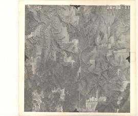
Aerial Photo of Major County, OK, USA, OK-2B-11
(United States Government, 1942-03-05)
Oklahoma aerial photographs in this collection are public domain and were created by U.S. government agencies or contractors to those agencies. The photos are marked with a flight and frame number at the top of the photos, ...


A study of the structure, spectrum, and magnetic susceptibility of bis (indazole) copper (II) chloride and bis (L-phenylalaninato) copper (II) /
(The University of Oklahoma., 1971)
A multiscale analysis of nest-site choice, nest success, and population abundance in the scissor-tailed flycatcher (Tyrannus forficatus).
(2000)
I used BBS data and habitat maps to examine associations of landscape structure and composition with the relative mean abundance of the scissor-tailed flycatcher. Routes were scattered over most of the breeding range. ...
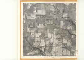
Aerial Photo of Muskogee County, OK, USA, CUE-5K-77
(United States Government, 1952-08-28)
Oklahoma aerial photographs in this collection are public domain and were created by U.S. government agencies or contractors to those agencies. The photos are marked with a flight and frame number at the top of the photos, ...
Aerial Photo of Garfield County, OK, USA, OE-4N-128
(United States Government, 1954-07-30)
Oklahoma aerial photographs in this collection are public domain and were created by U.S. government agencies or contractors to those agencies. The photos are marked with a flight and frame number at the top of the photos, ...


Improving High-Resolution Tropical Cyclone Prediction using a Cycled, GSI-Based Hybrid Ensemble-Variational Data Assimilation System for HWRF with Vortex Scale Observations
(2019-12-13)
A Gridpoint Statistical Interpolation analysis system (GSI)-based, continuously cycled, dual-resolution hybrid ensemble-variational (EnVar) data assimilation (DA) system is developed for the Hurricane Weather Research and ...