Search
Now showing items 5231-5240 of 20656

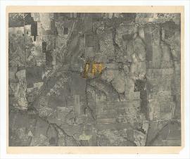
Aerial Photo of Logan County, OK, USA, OJ-4-19
(United States Government, 1937-08-27)
Oklahoma aerial photographs in this collection are public domain and were created by U.S. government agencies or contractors to those agencies. The photos are marked with a flight and frame number at the top of the photos, ...
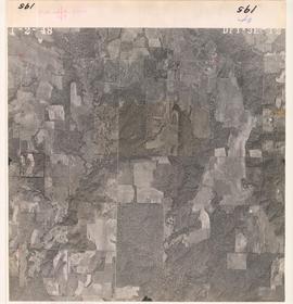
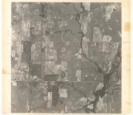
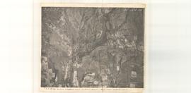
Aerial photo of Carter County, OK, USA, Flight Number AE-28-015
(1937-02-01)
Oklahoma aerial photographs in this collection are public domain and were created by U.S. government agencies or contractors to those agencies. The photos are marked with a flight and frame number at the top of the photos, ...
Aerial Photo of Bryan County, OK, USA, DFY-3E-12
(United States Government, 1958-01-02)
Oklahoma aerial photographs in this collection are public domain and were created by U.S. government agencies or contractors to those agencies. The photos are marked with a flight and frame number at the top of the photos, ...
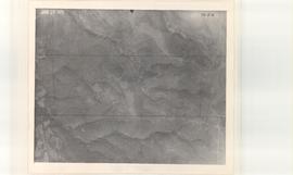
Aerial Photo of Creek County, OK, USA, CX-5-6
(United States Government, 1938-01-28)
Oklahoma aerial photographs in this collection are public domain and were created by U.S. government agencies or contractors to those agencies. The photos are marked with a flight and frame number at the top of the photos, ...
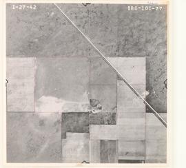
Aerial Photo of Cimarron County, OK, USA, DBG-10C-77
(United States Government, 1942-01-27)
Oklahoma aerial photographs in this collection are public domain and were created by U.S. government agencies or contractors to those agencies. The photos are marked with a flight and frame number at the top of the photos, ...
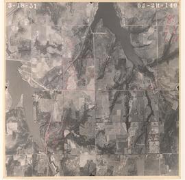
Aerial Photo of Logan County, OK, USA, OJ-2H-140
(United States Government, 1951-03-18)
Oklahoma aerial photographs in this collection are public domain and were created by U.S. government agencies or contractors to those agencies. The photos are marked with a flight and frame number at the top of the photos, ...
Plant competition theory: Empirical tests from the tallgrass prairie.
(1997)
Depending upon the parameter and scale of measurement, evidence for each model exists. Further studies of "natural" resource and disturbance regimes (e.g, fire, urine patches, grazing) with greater temporal complexity are ...
Aerial Photo of Muskogee County, OK, USA, AU-6-39
(United States Government, 1938-02-05)
Oklahoma aerial photographs in this collection are public domain and were created by U.S. government agencies or contractors to those agencies. The photos are marked with a flight and frame number at the top of the photos, ...
Aerial Photo of Stephens County, OK, USA, CRA-4E-37
(United States Government, 1949-05-10)
Oklahoma aerial photographs in this collection are public domain and were created by U.S. government agencies or contractors to those agencies. The photos are marked with a flight and frame number at the top of the photos, ...
Aerial Photo of Carter County, OK, USA, AE-104-94
(United States Government, 1937-03-20)
Oklahoma aerial photographs in this collection are public domain and were created by U.S. government agencies or contractors to those agencies. The photos are marked with a flight and frame number at the top of the photos, ...