| dc.date.accessioned | 2018-11-26T23:20:00Z | |
| dc.date.available | 2018-11-26T23:20:00Z | |
| dc.date.issued | nan | |
| dc.identifier.uri | https://hdl.handle.net/11244/316058 | |
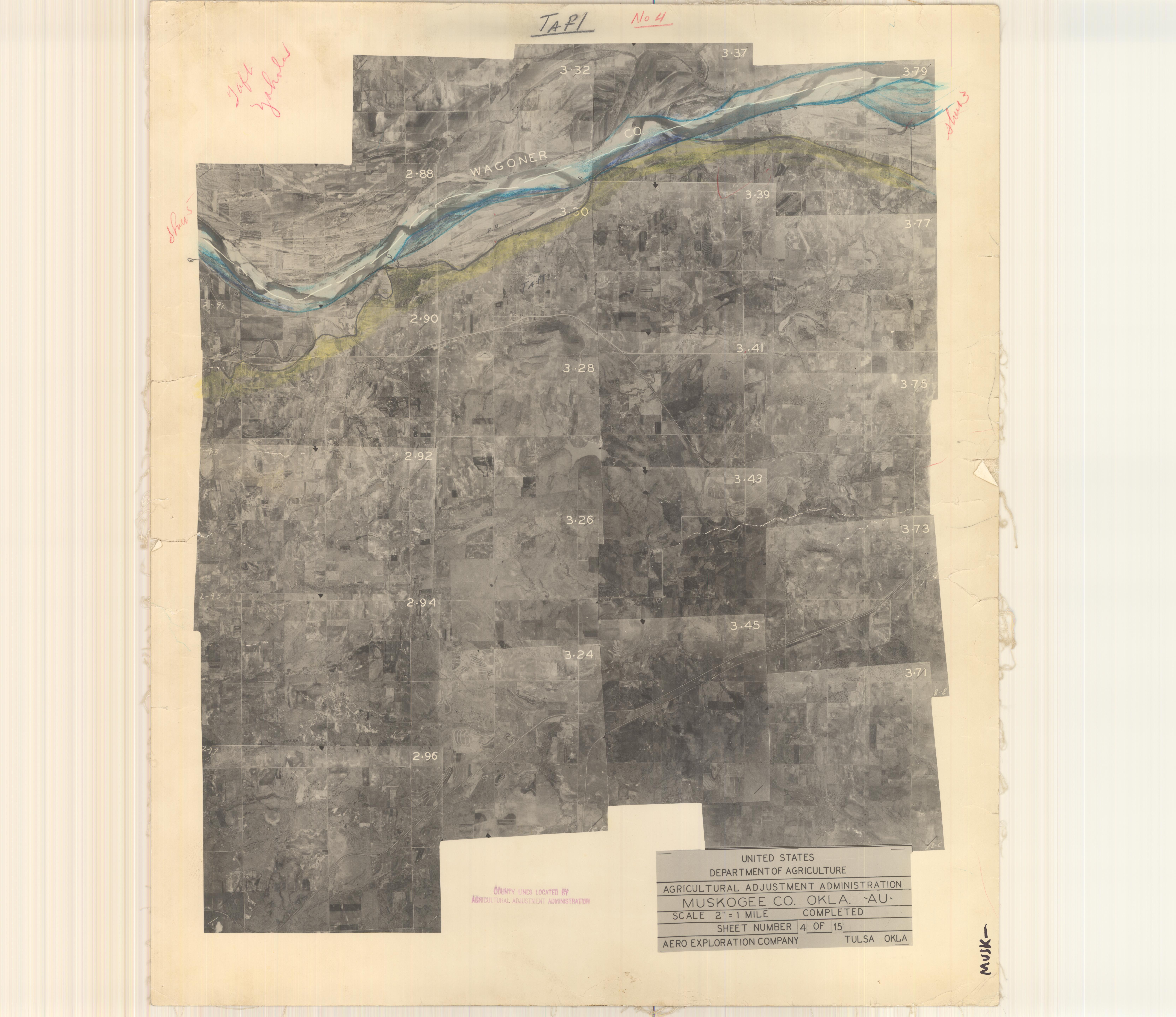
| dc.description | Black and white photography of Muskogee County, OK, USA | |
| dc.description.abstract | Oklahoma aerial photographs in this collection are public domain and were created by U.S. government agencies or contractors to those agencies. The photos are marked with a flight and frame number at the top of the photos, e.g., AQS-219. The date of the flight is then printed in the opposite corner. More information about these photos can be found at: http://guides.ou.edu/aerial. Digital imaging courtesy of the University of Oklahoma Libraries, Government Documents Collection. | |
| dc.format | image/jpeg | |
| dc.language | en_US | |
| dc.publisher | United States Government | |
| dc.relation.uri | http://guides.ou.edu/aerial | |
| dc.rights.uri | https://rightsstatements.org/vocab/NKC/1.0/ | |
| dc.title | Index, Muskogee County, 4 of 15 | |
| dc.type | stillimage | |